Inspired by a Daily bits of-course I checked out Mapswipe. An app where you and me, online or offline, can assist with identifying features on maps of remote areas. Buildings, roads and such. The purpose is to “proactively map the places in the world where the most vulnerable people live, before a crisis happens”.
I’ve been using the app for a few months now, and normally do a bit of mapswiping in the mornings, right after my daily meditation. Building it into my morning ritual, I know I am contributing a few mintes of my time, to something that can make a real difference in the lives of many people.
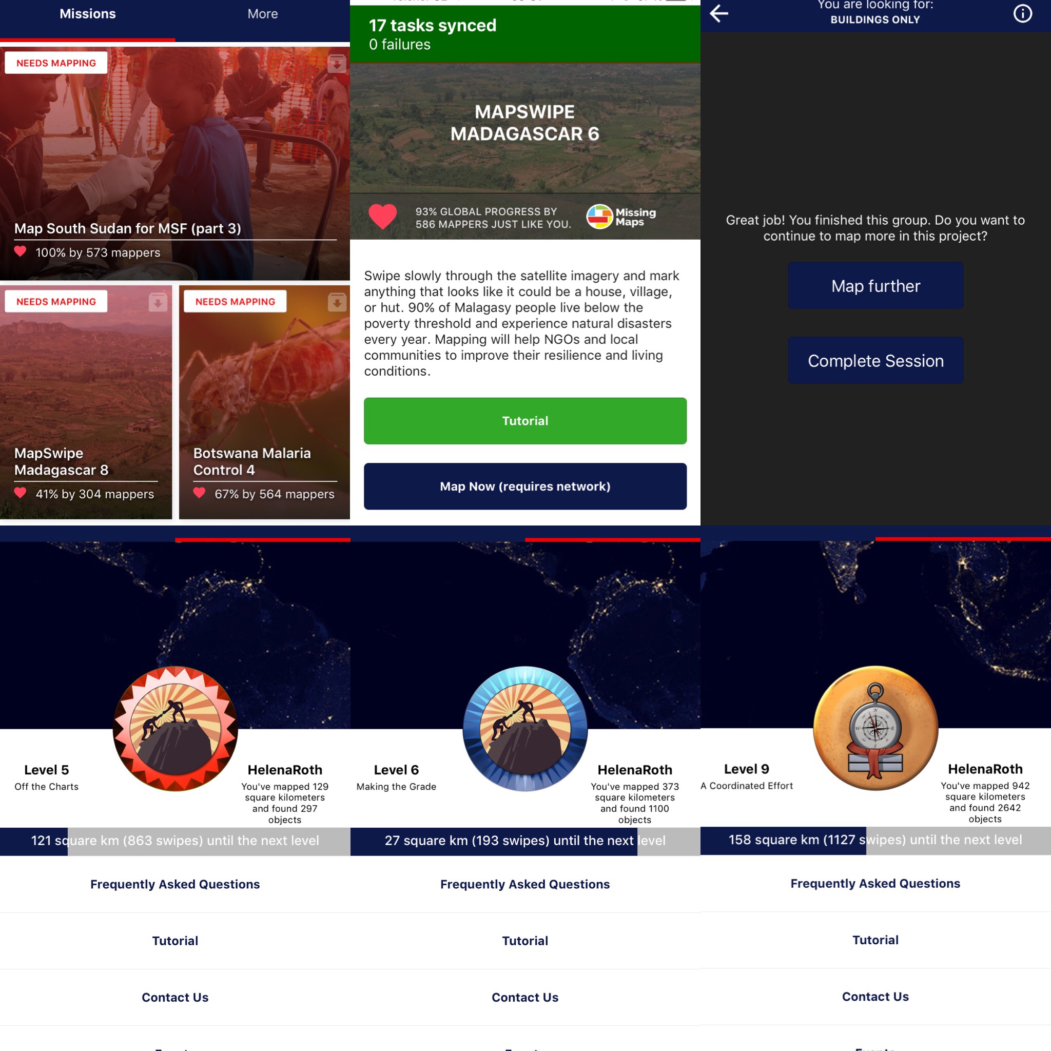
By November 29th I’d mapped 373 kilometers and found/marked 1100 objects. Almost a month later, I’m on Level 9, having mapped 942 square kilometers and found 2642 objects. It’s real easy to use the app, as I tap once when I find something (marking the tile green), twice when I think I’ve found something (marking the tile yellow) and three times when there’s a problem such as cloud cover which makes it impossible to scan the area (marking the tile red).
 Try it out while waiting for the bus, standing in line, during travels or, like me, for a few minutes in the morning. Every little bit counts and it sure is a worthwhile use of my time. Perhaps of your time as well?
Hi Helena,
Happy to read about MapSwipe :). I’m using it! It’s really simple and useful to help people :).
Best
Valerio
Roma